


La Rochenard

olaze
Gebruiker
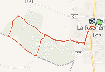

Lengte
3 km

Max. hoogte
51 m

Positief hoogteverschil
23 m
Km-Effort
3,3 km

Min. hoogte
38 m

Negatief hoogteverschil
23 m
Boucle
Ja
Datum van aanmaak :
2014-12-10 00:00:00.0
Laatste wijziging :
2014-12-10 00:00:00.0
1h18
Moeilijkheid : Heel gemakkelijk

Gratisgps-wandelapplicatie
 SityTrail
IGN / Geografische instituten
SityTrail Plus
De wereld gaat voor u open
Over ons
Tocht Stappen van 3 km beschikbaar op Nieuw-Aquitanië, Deux-Sèvres, La Rochénard. Deze tocht wordt voorgesteld door olaze.
Beschrijving
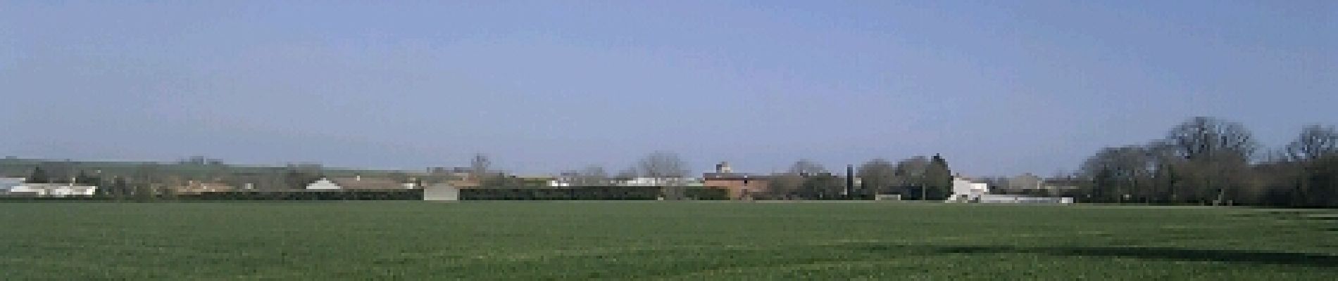
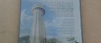
Agréable promenade autour de La Rochénard.Château d'eau panoramique, campagne.
Club rando ATSCAF 9 mars 2012
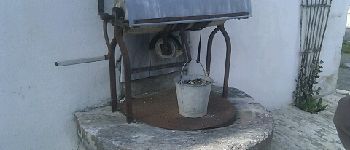
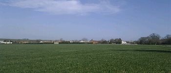
Foto's


Plaatsbepaling
Land:
France
Regio :
Nieuw-Aquitanië
Departement/Provincie :
Deux-Sèvres
Gemeente :
La Rochénard
Locatie:
Unknown
Vertrek:(Dec)
Vertrek:(UTM)
686220 ; 5119653 (30T) N.
Opmerkingen